Getting There
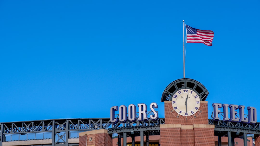
Coors Field, Denver, CO
Data updated: 2025 MLB Season
Driving
Directions
From the south: I-25 North to 20th Street/Park Avenue exit. From the north: I-25 South to Park Avenue exit. From the east (airport): I-70 West to I-25 South to Park Avenue, or take the A Line to Union Station.
Details
From the west: I-70 East to I-25 South. Coors Field is at 20th and Blake Streets, lots on Blake, Park Avenue, and in the RiNo district.
Public Transit
Directions
RTD light rail to Union Station, a 10-15 minute walk to Coors Field through LoDo. $3 fare. Connects from DIA, suburbs, and Boulder.
Details
RTD buses serve downtown. Free MallRide on 16th Street Mall.
Rideshare
Directions
Drop-off on Blake Street near the main entrance. Post-game pickup on Park Avenue or Wazee Street.
Details
10-15 minutes from Cherry Creek, Capitol Hill, or Highlands.
Travel
Overview
Coors Field is in Denver's LoDo (Lower Downtown) neighborhood, a 10-minute walk from Union Station. RTD light rail and commuter rail connect Union Station to the airport, suburbs, and the rest of Denver. The free 16th Street Mall shuttle runs the length of downtown. Denver is flat, walkable, and easy to navigate. Most downtown hotels are within a 15-minute walk of the ballpark.
Community
Intelligence
Crowdsourced logistics and veteran shortcuts from the fan community. Every tip is voted on by fellow game-day veterans.
“Union Station is a 10-minute walk. Take the A Line from the airport or any RTD line from the suburbs.”
“The free 16th Street Mall shuttle runs the length of downtown. Ride toward Union Station and walk to the ballpark.”
“Denver is flat and walkable, most downtown hotels are within a 15-minute walk.”
“From the airport: A Line to Union Station is faster and cheaper than driving and parking.”
“Post-game traffic on I-25 clears in 20-30 minutes. Walk LoDo or Blake Street and let it thin out.”
“The walk from Union Station along Blake Street through the Dairy Block is the best approach to the ballpark.”