Getting There
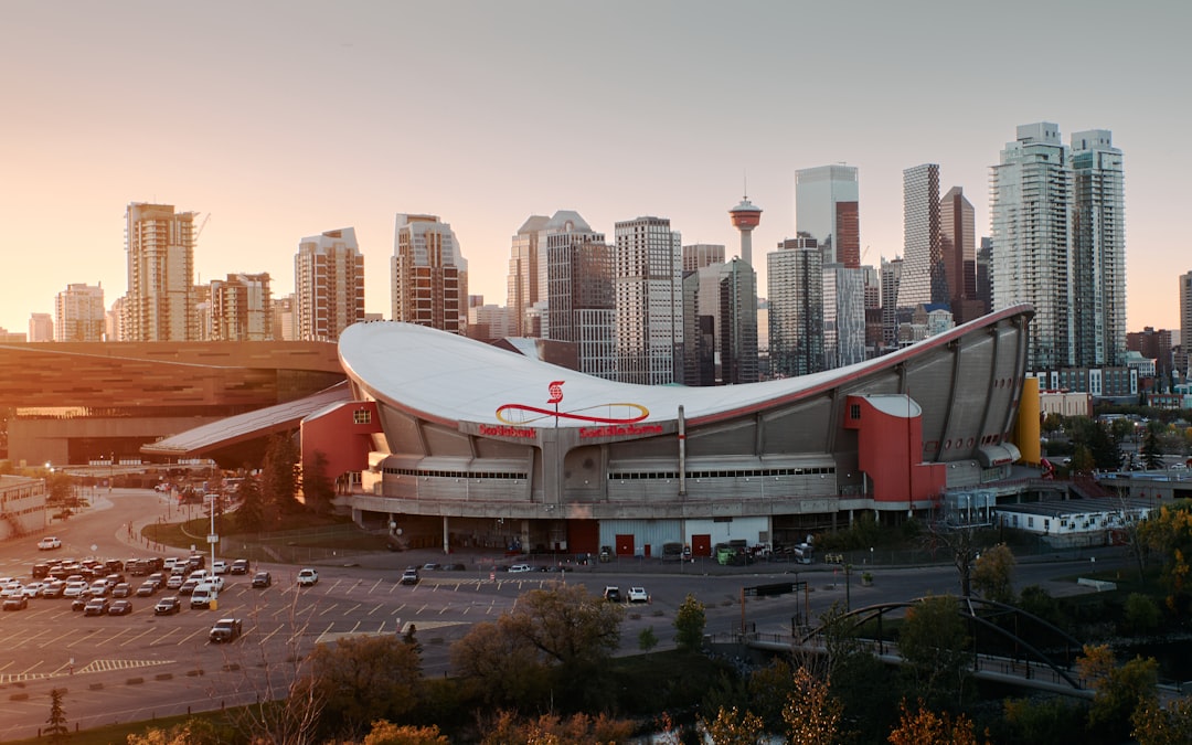
Scotiabank Saddledome, Calgary, AB
Data updated: 2025-26
Driving
Directions
From the north: Take Deerfoot Trail (Hwy 2) south to Memorial Drive, west to Macleod Trail, south to Stampede grounds. From the south: Take Macleod Trail north to Olympic Way.
Details
From the west: Take Bow Trail east to downtown, south on Macleod Trail. Follow arena signage from any approach.
Public Transit
Directions
CTrain Red and Blue lines to Victoria Park/Stampede station, adjacent to the Saddledome. Free fare in the downtown zone.
Details
Calgary Transit buses also serve the area. The arena is in Stampede Park.
Rideshare
Directions
Uber/Lyft drop-off on Olympic Way near the north entrance. Post-game pickup on the same street.
Details
Expect 10-minute waits after games.
Travel
Overview
The Saddledome sits on the Stampede grounds in southeast Calgary, accessible from Macleod Trail, Olympic Way, and 17th Avenue SE. The CTrain light rail is the best transit option, Victoria Park/Stampede station is a 5-minute walk from the arena and the ride is free from downtown. Calgary's +15 Skywalk connects downtown buildings with enclosed, heated walkways, essential for winter game nights. Driving is straightforward but winter conditions require extra caution on Calgary roads.
Community
Intelligence
Crowdsourced logistics and veteran shortcuts from the fan community. Every tip is voted on by fellow game-day veterans.
“CTrain is free from downtown, there's no reason to drive if you're staying in the city center.”
“In winter, use the +15 Skywalk from your downtown hotel to the CTrain station. Minimize outdoor exposure.”
“Macleod Trail gets congested starting an hour before puck drop. Take the CTrain or arrive early.”
“Rideshare surge is mild in Calgary. Expect $10-15 from downtown hotels.”
“Post-game CTrain service runs late. Wait 10 minutes at the station for crowds to thin.”
“If driving from out of town, Stampede Park lots are well-signed from major highways.”